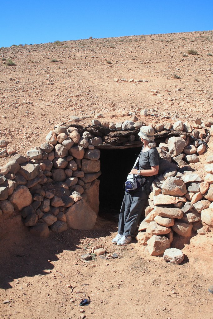
Up Ron & Marjolijn's holiday pictures » 2010-10 Marokko » 11-Dades Prev Next Slideshow

 Previous image  Next image  Index page  Original Image [04-A berber cave.jpg - 1.2MB]


01-The palmeraie of the Dades
02-Starting our hike through the mountains around the Dades
03-Berber caves
  04-A berber cave.jpg - A berber cave  
05-Beautifull hike
06-Beautifull hike
07-The gorge of a tributary of the Dades
08-The gorge of a tributary of the Dades
09-The gorge of a tributary of the Dades
10-The gorge of a tributary of the Dades
11-Our guide is helping Marjolijn
12-The gorge of a tributary of the Dades
13-The gorge is widening into the Dades valley
14-The gorge is widening into the Dades valley
15-The road climbs out of the Dades gorge
16-The road above the Dades gorge

A berber cave Download Original Image
Latitude: N 31°31'44,58" | Longitude: W 5°57'4,24" | Altitude: 2054 metres | Location: Aït Outfi | State/Province: Souss-Massa-Drâa | Country: Marokko | Copyright: Ron Harkink | See map
Total images: 23 | Help